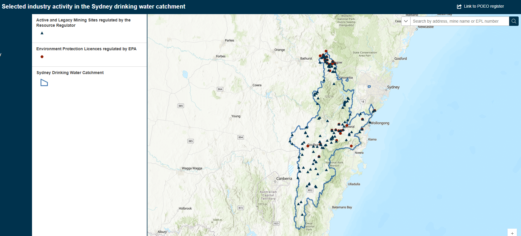
Selected industry activity in the Sydney drinking water catchment
This map viewer shows industry activities that might affect water quality in Sydney's drinking water catchment areas.
Sydney's drinking water comes from 5 main catchment areas:
- Warragamba
- Shoalhaven
- Upper Nepean
- Woronora
- Blue Mountains.
The map was created by the NSW EPA and NSW Resources Regulator using point-in-time data from February 2025.
Background
This map responds to a specific recommendation from the Sydney Drinking Water Catchment Audit 2019-2022:
Recommendation 24: Create a map showing all sources of mine and quarry water discharges in the catchment, including both licensed operations and old legacy sites.
The audit was prepared for the NSW Minister for Water. It's a periodic, statutorily required assessment that checks the health of Sydney's drinking water catchment by examining water quality, water availability, biodiversity and habitats, and land use and human settlements.