Flood recovery program for water quality monitoring - East Coast
A comprehensive program supporting long-term recovery from the 2022 floods by monitoring water quality in disaster-declared catchments along the East Coast of NSW.
The program was delivered through two key projects:
- Guung Butherun (water stories) Project – Delivered by Jagun Alliance Aboriginal Corporation
- East Coast Flood Project – Delivered by NSW Department of Climate Change, Energy, Environment and Water.
The program was part of Regional NSW Riparian Stabilisation Package and funded by the joint Australian and NSW Government’s Disaster Recovery Funding Arrangements.
Guung Butherun (water stories) Project
A comprehensive Aboriginal Knowledge project designed and delivered by Jagun Alliance Aboriginal Corporation on Bundjalung and Yagel Country in the NSW Northern Rivers.
The project was delivered between August 2023 and June 2024 through six workshops on Country exploring water quality from a Cultural lens.
The project resulted in a report and video for community, which can be found on Jagun Alliance’s website.
Read the Guung Butherun Report (PDF 7.5MB)
East Coast Flood Project
The East Coast Flood Project, delivered by the NSW Department of Climate Change, Energy, the Environment and Water (DCCEEW), delivered a water quality monitoring program across several flood-affected waterways listed under Australian Government Reference Number (AGRN) 1012 and 1025.
The project worked across 20 flood-impacted waterways between the QLD border and the Hawkesbury, collecting more than 11,000 samples from 186 sites over its two-year operation.
The project resulted in considerable new water quality data across the east coast of NSW, with a final report divided into regions for localised assessment and information. The full report can be viewed on the SEED Natural Hazards Science Hub.
Real time water quality still available
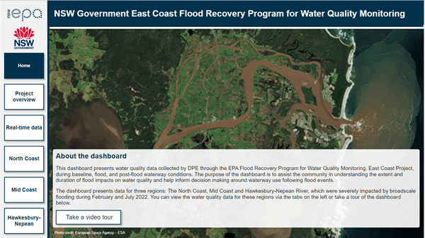
The EPA and DCCEEW have extended real time monitoring of waterways in the Northeast of NSW for the 2024/25 financial year. Real time water quality information from 8 smart buoys can be viewed on the East Coast Flood Project dashboard below.
Newsletters
More information
Contact us at:
[email protected]