Content page
20 Sep 2023
Recycling textiles
This project resulted in diverting over 80 tonnes of unwanted textiles from landfill, and by expanding partnerships has the potential for future savings.

News
20 Sep 2023
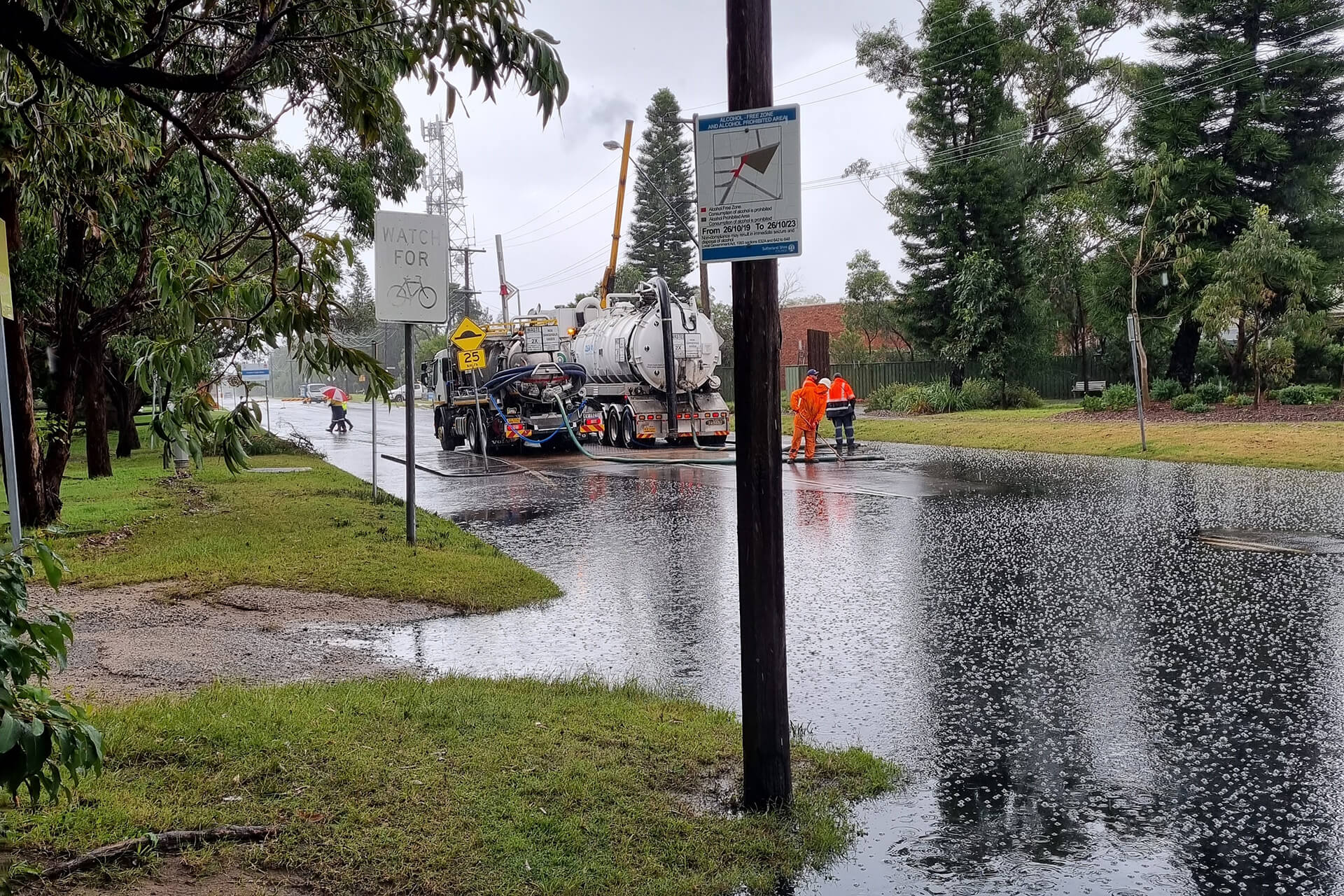
Ampol to pay over $700,000 after oily water spill in Kurnell
Ampol must pay $700,000 towards four community projects in a legally binding agreement with the NSW Environment Protection Authority (EPA). This comes after more than 9,000 litres of diesel mixed with floodwaters and spilled from its Kurnell fuel transfer terminal in April last year.
News
20 Sep 2023
EPA investigates bird deaths in Tuncurry
The NSW Environment Protection Authority (EPA) is appealing for information after the discovery of a number of dead native birds in a reserve at the end of Bramble Parade, Tuncurry.

News
20 Sep 2023
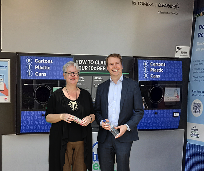
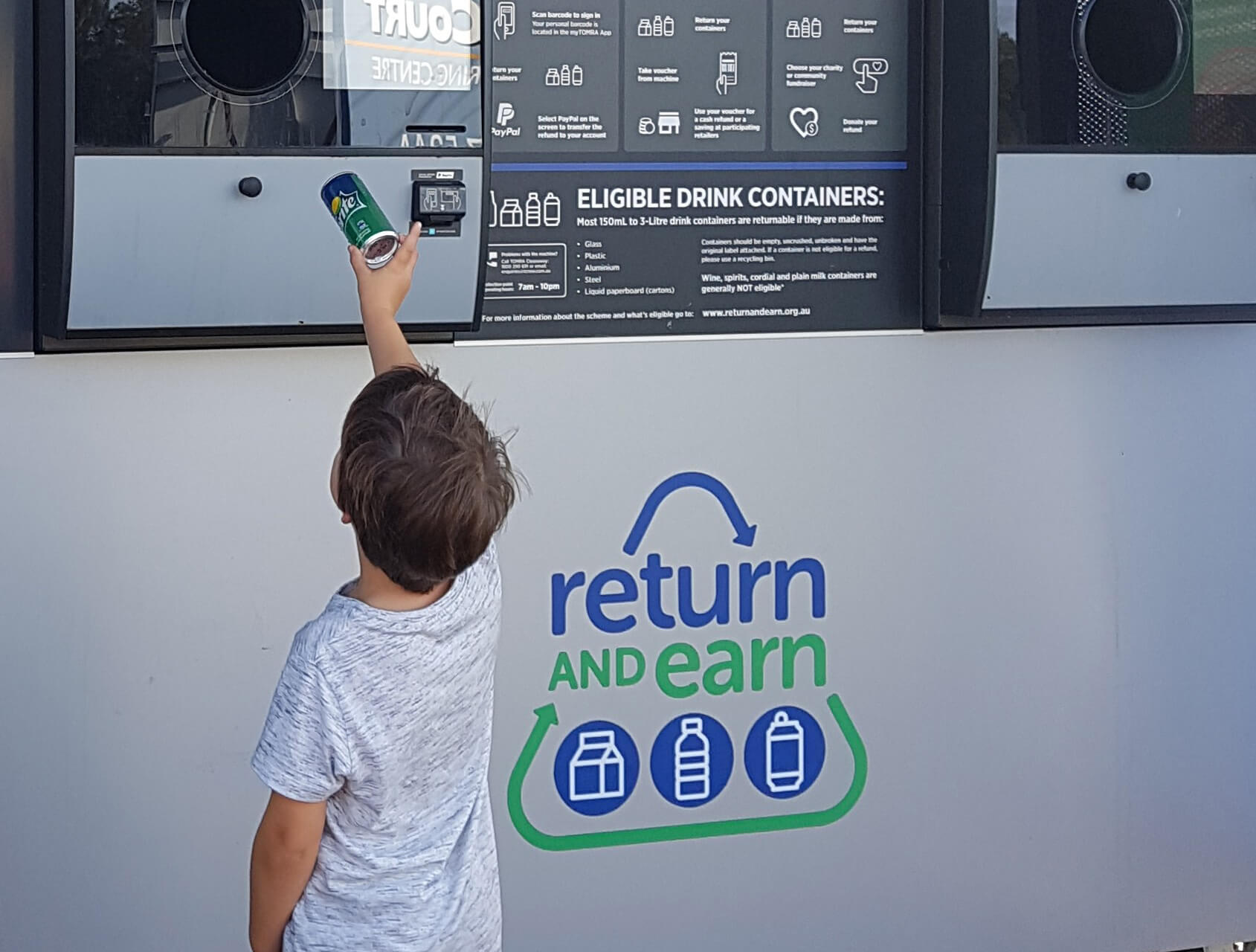
10 billion containers recycled
NSW recyclers achieved an incredible environmental milestone on 15 September, celebrating a staggering 10 billion bottles and cans recycled through the Return and Earn scheme since it launched in December 2017.
Content page
19 Sep 2023
Protecting koala hubs in proposed Great Koala National Park assessment area
The Minister for the Environment has directed the EPA to consider potential Coastal IFOA protocol amendments to ensure koala hubs in the provisional Great Koala National Park Assessment Area are protected from forestry operations.
News
15 Sep 2023
10 billion containers returned and $1 billion earned
The NSW Return and Earn scheme is on the verge of reaching the milestone of 10 billion recycled cans and bottles at return points.
News
14 Sep 2023
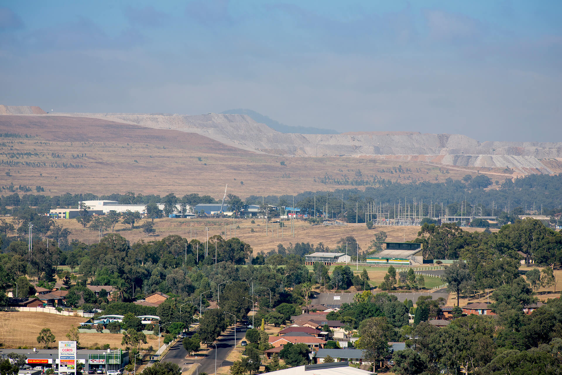
EPA launches the Bust the Dust Campaign
Coal mines in the Hunter region are again on notice as NSW Environment Protection Authority (EPA) officers head out to monitor air quality as part of its ongoing Bust the Dust campaign conducted over drier weather months.
Content page
13 Sep 2023
Community Recycling Centres
Community Recycling Centres (CRCs) are permanent drop-off centres for common household problem wastes that can’t be collected via council kerbside waste and recycling collection services. NSW householders can drop off problem wastes at these centres year round, free of charge.
Content page
13 Sep 2023
Household Chemical CleanOut
The safe way to dispose of potentially hazardous household chemicals is at a Household Chemical CleanOut event. These events are free services held across NSW on specified dates.